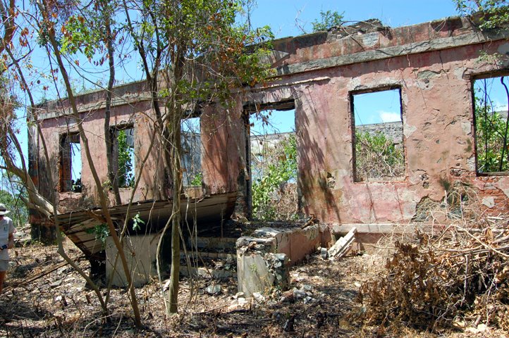
It is late Friday, and we still have much to do, including the Museum Annual Checklist and rearranging in the Bally Building to create a space for a new map cabinet, however, we wanted to post the press release about the recent developments regarding Maho Bay. In short, the Virgin Islands National Park will eventually recieve a large track of land thanks to the Trust for Public Lands (TPL) hard work towards preserving this large track of land for the public. One aspect of our mission is to know what is in the park, and before any land transfer this has to be determined. Ken is already thinking about the survey methods and documenation that will have to happen to to help TPL and NPS to properly manage and protect the cultural resources on the land. On Monday, Ken and Susanna rode out to Maho to take a quick look at the new aquisition, including a unique and perplexing ruin, that Susanna nicknamed the "bus stop" due to it's proximity to the road. Please read the press release for more informaiton.
St. John, U.S. Virgin Islands, 9/5/2006 - The Trust for Public Land (TPL), a national nonprofit land conservation organization, today announced it has signed a contract to buy and preserve a 415-acre property in the heart of St. John that ultimately will become part of Virgin Islands National Park. It would be the biggest preservation project on St. John since the National Park was created in 1956.
The property, known as Estate Maho Bay, will be added to the park when federal funds become available, said Greg Chelius, director of TPL's program in Florida and the Caribbean.
"The national park on St. John is one of the world's great treasures," said Chelius. "We are very excited to be part of the effort to preserve its incredible natural beauty."
"TPL has been working on preserving Maho Bay for more than five years and while there have been a lot of challenges, it looks like we're finally on the road," Chelius continued. "We have a lot of hurdles to go, and we have to raise millions of dollars to make this happen, but we're confident that Estate Maho Bay will be protected."
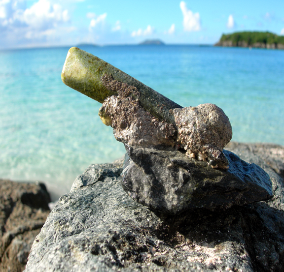
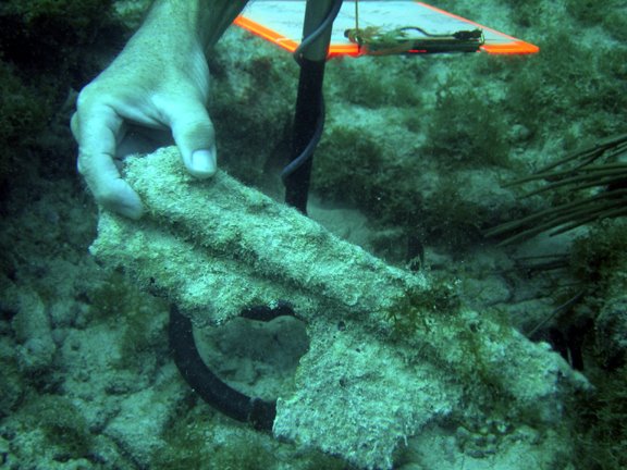
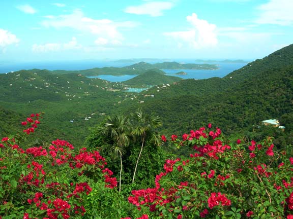
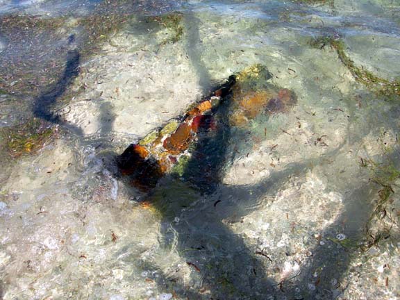
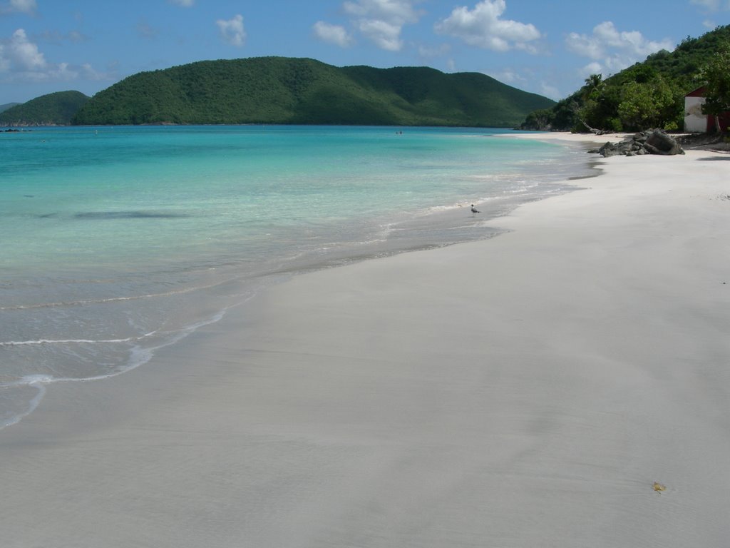
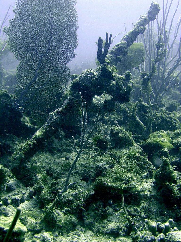
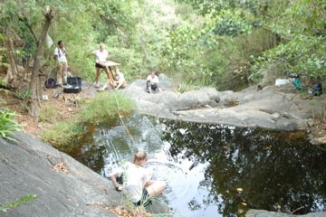
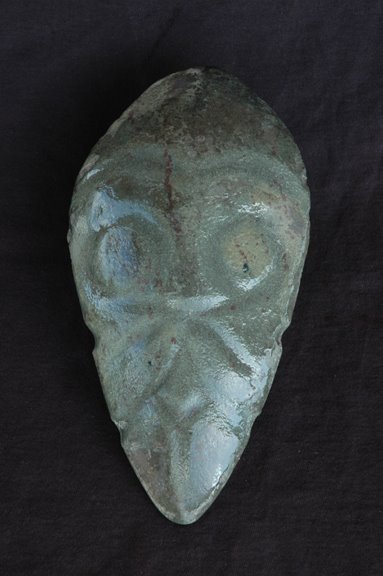
The property has more than a quarter-mile of beachfront on pristine Maho Bay and rises to almost 1,000 feet in height. It also has significant ruins from the Danish colonial era, 1700-1860 and may have pre-Columbian cultural resources from the Taino Indian people, who inhabited St. John for 800 years before Christopher Columbus arrived. Just offshore are seagrass beds, green turtles and coral reef systems which are visited by thousands of people every year.
"Protection of this large property by TPL represents a very significant event for the V.I. National Park and for St. John. Development of this watershed would have had considerable impact on the natural and cultural resources of the park as well as residents and visitors to St. John," said Rafe Boulon, native St. Johnian and chief of resource management, V.I. National Park.
TPL has been working for years to acquire the property, which was owned by 11 heirs of Harvey Monroe Marsh. In fact, John Garrison, director of TPL's Southwest Florida Office and lead project manager on this acquisition, was interested in preserving this property before coming to TPL five years ago, when he was director of Friends of the Virgin Islands National Park, a nonprofit on St. John dedicated to protecting the park.
Garrison said that the property has not been subdivided, so that each heir owns 1/11 interest in the entire parcel. Six heirs agreed to sell their interests to TPL. TPL had previously purchased one interest. The NPS owns three interests and the 11th is being retained by one of the heirs. By contract, the purchase price of the six interests is to remain confidential. The heirs are also each retaining a six-acre lot, with the ability to build up to two homes.
"Preservation of this property will be the culmination of many, many years of work," said Garrison. "A lot of credit goes to the heirs, who were willing to work with us and gave us a significant bargain on the sale, as well as to the Friends group for their continued support." A spokesperson for the Marsh family said, "Maho Bay has been in the family for over 100 years so it is important to the family to retain ancestral home sites and at the same time preserve the natural beauty of the estate for future generations to enjoy."
"The preservation of Estate Maho Bay, one of the most popular and cherished areas within VI National Park, is a significant accomplishment that will benefit the people of St. John and all those who will be able to visit and enjoy this magnificent area," said Joe Kessler, president of Friends of Virgin Islands National Park. "The Friends and all those who love VI National Park will be forever grateful to TPL for their persistence and imagination in making this a reality, to the donor for their generosity in financing the acquisition and to the heirs for their foresight and commitment to preserving Estate Maho Bay. We are pleased to have been a part of making this happen."
The Trust for Public Land (TPL) is a national nonprofit land conservation organization that conserves land for people to enjoy as parks, gardens, and natural areas, ensuring livable communities for generations to come. Since its founding in 1972, TPL has helped protect more than 2 million acres of land in 45 states. Working in Florida since 1975, TPL has protected more than 300 sites - over 200,000 acres at a market value of more than $500 million. The Trust for Public Land depends on the support and generosity of individuals, foundations, and businesses to achieve our land for people mission. For more information please contact us at (850) 222-7911 or visit us on the web at www.tpl.org/florida.
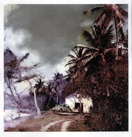
 The postcards date from the late 1800 hundreds to the early 1900 hundreds and many of the images captured park resources still in use, like the photograph above with the Reef Bay Factory still in operation.
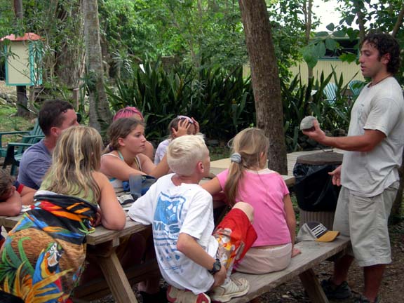
  Others capture the people and the times like learning to make baskets at the turn of the century. The postcards are great and Jane was so helpful. That day she loaned 100 + cards right then in order for us to scan the images. This week, Susanna spent a few hours scanning in the images, front and back, because the back of the card can indicate when it was published. Eventually, we hope to process all the images and make them available online. Below one of the cards, shows the Creque Marine Slipway in full operation.
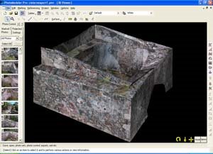
 This is an image of the structure as it stands today. Thank you Jane for making this wonderful contribution.
 This is an image of the structure as it stands today. Thank you Jane for making this wonderful contribution.